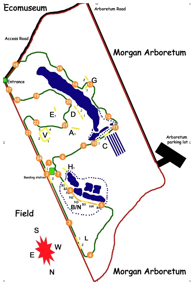
The census trail covers a distance of approximately 1.2 km, and is designed to sample all the habitats present at MBO. The purpose of the census is to obtain the best possible standardized estimate of the unduplicated number of each species in the count area during a standard period each day. It is walked daily during the spring and fall Migration Monitoring Programs for 60 minutes, and periodically in summer and winter. The census route begins at the banding cabin, and proceeds in a counter-clockwise direction. The original path of the census route is shown in green on the map below. The photos below illustrate the view at 17 points along the original census route (locations indicated on the map with orange dots). All photos taken by Marcel Gahbauer in mid-August 2005, unless otherwise noted.
Click on image to enlarge (opens in a new window).
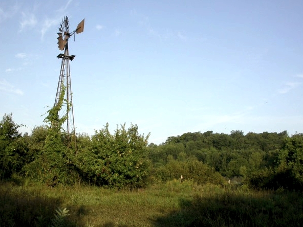
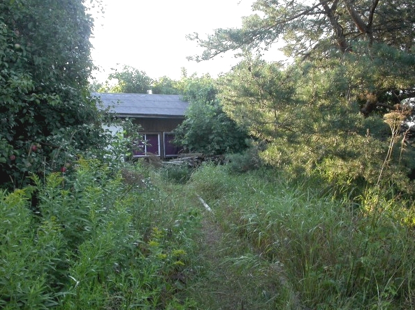
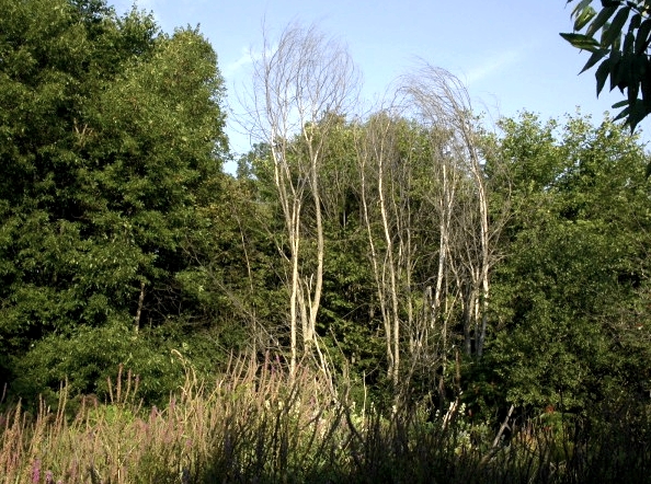
Census start – the windmill
1) The census begins at the “parking circle” just south of the banding station. With a view of the windmill to the west, and the neighbouring farm fields to the east, watching and listening from this spot for a few minutes usually gets the daily census list off to a good start.
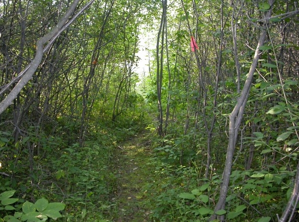
Warbler Alley
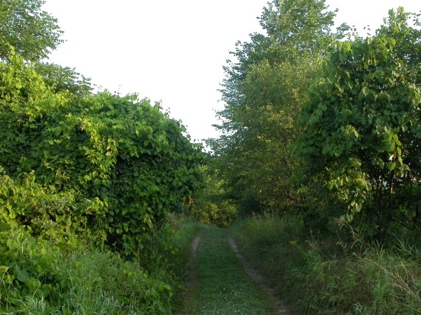
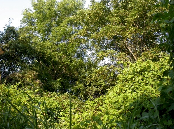
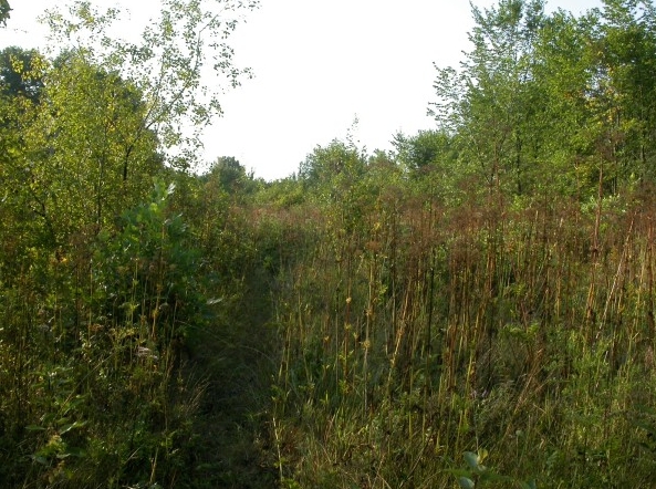
2) The first section of the census route follows the old lane north along the edge of the MBO property. It has become known as “Warbler Alley” thanks to the wide variety of warblers that frequent the area, especially in August and early September. The photo below shows the entrance to Warbler Alley behind the banding station.
3) All along Warbler Alley there is dense vegetation, mostly a mixture of buckthorns and hawthorns interspersed with taller trees such as walnuts, ashes, and poplars. The walnuts and grapevine-covered shrubs near the midpoint of this section can be particularly active in fall.
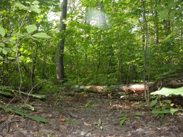
Back Woods
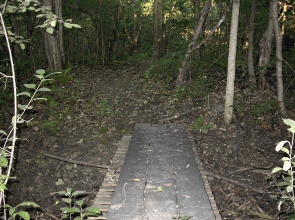
4) Just before the census trail reaches the northeast corner of the MBO property, it turns left and heads into the “Back Woods”, an area of mature deciduous forest dominated by maples. This footbridge was built by Peter Gruner and is essential in spring when drainage from the Back Ponds almost entirely fills the ditch.
NEED NEW PHOTO
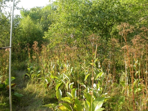
Back Ponds
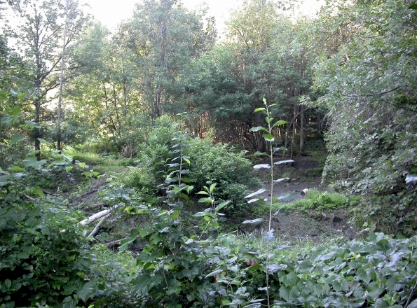
5) The “Back Ponds” are a collection of artificial ponds created by Ducks Unlimited in the 1970s. In spring, water levels are often high enough to result in a large single pond, while by late summer the ponds may all be entirely dried up. Water levels of course have a significant impact on the presence/absence of waterfowl, shorebirds, and a number of other species. The view shown below is of the north end of the ponds after a dry summer.
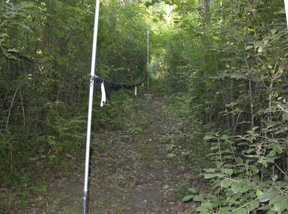
6) A series of 4 nets line the ridge along the eastern border of the Back Ponds.
7) After 15-20 minutes, the census trail passes by the banding station. The censuser(s) may check quickly with the Bander-in-charge at this point to exchange information, but otherwise generally continue on quickly.
Apple Lane
8) The census trail curves around the windmill, and west down the slope toward Stoneycroft Pond, through an open area with a number of mature apple trees.
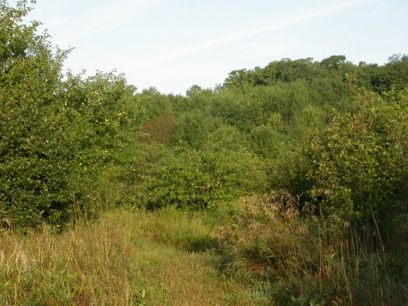
9) From the bottom of the slope, the census trail provides views on a few small dead trees along the north-west side of Stoneycroft Pond that always have a variety of birds perched in the bare branches. It is worth looking at those trees every time they come into view.
NEED NEW PHOTO
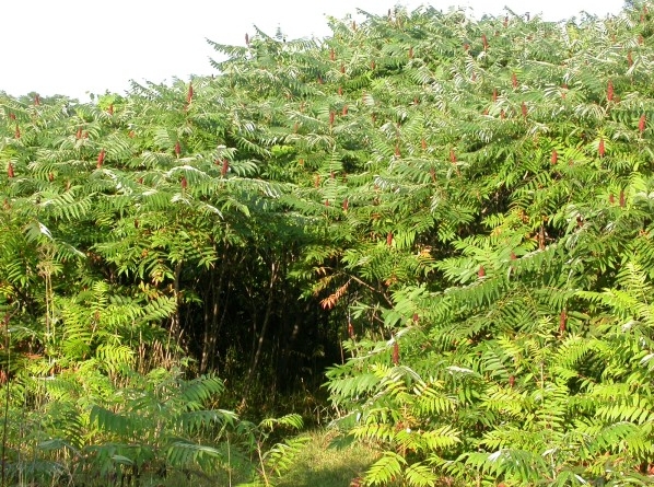
10) The lush sumac grove below conceals nets C1 and C2, and provides access to the west side of Stoneycroft Pond.
West Slope
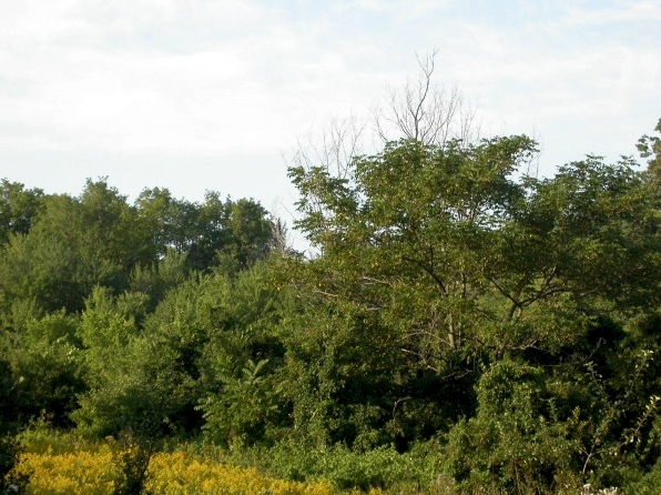
11) At the far end of the sumac grove is a small wetland patch. This area is known as “hummingbird corner” as they usually perch in the dead trees on the right side of the path.
12) The next section of the trail goes through another section of mature forest, a mix of oak, maple, and beech.
13) An open area around MAPS net 8 and 9 features a lot of edge habitat that attracts a variety of warblers and other passerines in migration.
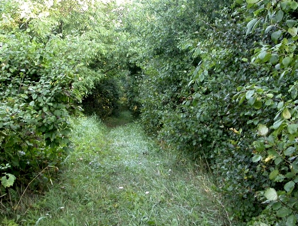
14) After passing net 8 and 9, the path curves back down to a lookout over the midpoint of the west side of Stoneycroft Pond, then goes through the buckthorn thicket shown in the photo below.
15) Along the southwest side of Stoneycroft Pond is an extensive open and fairly wet area.
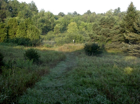
Centre meadow
19) After making the curve around the south end of Stoneycroft Pond, the census trail opens up on the large tallgrass meadow at the centre of MBO. The path then turns right and goes up the slope towards the access road
17) The census trail ends at the junction of the path and the access road, under butternuts and locusts.